A System Balanced on a Knife Edge – It’s Snow Joke for Forecasters
Posted on January 6, 2026
The deep area of low pressure developing and heading across southern England on Friday is one of those weather systems that makes forecasters quietly sigh, put the kettle on, and cancel any plans they had for being confidently correct.
Not because it lacks potential, quite the opposite – but because it sits right on the most awkward of battlegrounds. Cold air is already in place, milder air is trying to barge in from the Atlantic, and the eventual outcome depends on details so small that a minor wobble in the track can change everything. Shift this system north or south by 20–30 miles and you go from disruptive snowfall to cold rain, or vice versa. For anyone trying to pin down exactly where snow will fall, it’s a nightmare.
Snow here, rain there, chaos everywhere
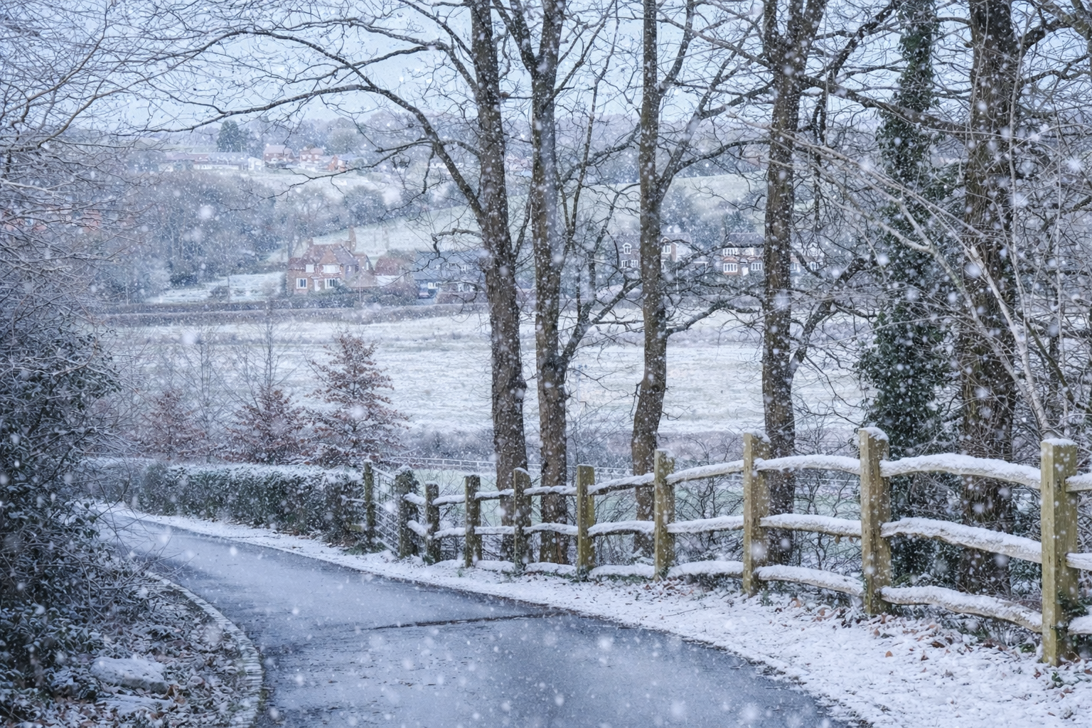
As the low moves in across the Midlands and southern England, it runs straight into a cold northerly airflow. Where that cold air holds firm, snow becomes the dominant risk. Where it retreats, rain takes over. The problem is that the dividing line between the two won’t be neat, tidy, or remotely polite. Some areas could see blizzard conditions with strong winds and heavy snow, while a few miles down the road it’s simply wet, cold and thoroughly underwhelming.
Elevation only adds to the chaos. Slightly higher ground is far better at clinging onto cold air, meaning hills and uplands could turn white while nearby low-lying areas remain stubbornly green and soggy. Forecast models, impressive though they are, are not particularly good at resolving these small-scale differences when a deep, fast-developing low is involved. This is usually the point where forecasters start using phrases like “marginal” and “fine margins”, which roughly translates as “don’t shout at us later”.
Why winter lows are a forecaster’s nightmare
Then there’s precipitation intensity, another layer of mischief. If the rain is heavy enough, it can cool the air as it falls, dragging temperatures down just enough for rain to turn to snow. That’s how places forecast to see rain can suddenly find themselves watching large, soggy flakes drifting past the window. It’s also why snowfall forecasts often look wrong until they’re suddenly very right.
In summer, systems like this are far less troublesome. A deep low charging in then usually delivers rain or heavy rain — perhaps with some strong winds — but the outcome is broadly the same everywhere. No one needs to worry about whether the rain might turn into snow halfway through a shower. In winter, however, the stakes are higher, the margins are tighter, and the atmosphere enjoys keeping everyone guessing.
So while charts and models will continue to be analysed, tweaked and refreshed every few hours, the reality is that this is one of those situations where the atmosphere won’t fully make its mind up until the event is already underway. For weather enthusiasts, it’s fascinating. For forecasters, it’s the kind of setup that makes them envy summer lows and their simple, predictable rain.
Here in Hampshire, rain looks the favourite but there may well be snow at the back end of it as the cold air tries to dig back in.
Got something to say?